Maps of Bucyrus, North Dakota
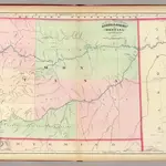
 1874|United States. Army. Corps of Engineer1:760 320
 1874|Asher & Adams1:1 267 200
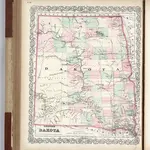 1874|Colton, G.W.1:2 090 880
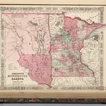 1864|Johnson, A.J.1:4 850 000
 1857|Colton, G.W.1:2 530 000
 1854|New York, N.Y. : J.H. Colton1:2 600 000
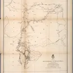
 1869|Raynolds, William F.1:1 200 000
Old maps of Bucyrus, North Dakota
Discover the past of Bucyrus, North Dakota on historical maps
Old maps of Bucyrus, North Dakota
Discover the past of Bucyrus, North Dakota on historical maps
Looking for a Google Maps API Alternative?