Maps of Nayland-with-Wissington
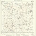 1950|Ordnance Survey1:25 000
 1950|Ordnance Survey1:25 000
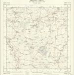
 1941|Oberkommando der Wehrmacht (OKW) (Nazi German Supreme Command of the Armed Forces)
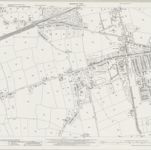 1939|Ordnance Survey1:2 500
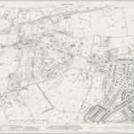 1939|Ordnance Survey1:2 500
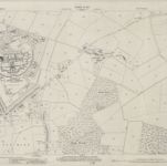 1939|Ordnance Survey1:2 500
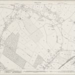 1939|Ordnance Survey1:2 500