

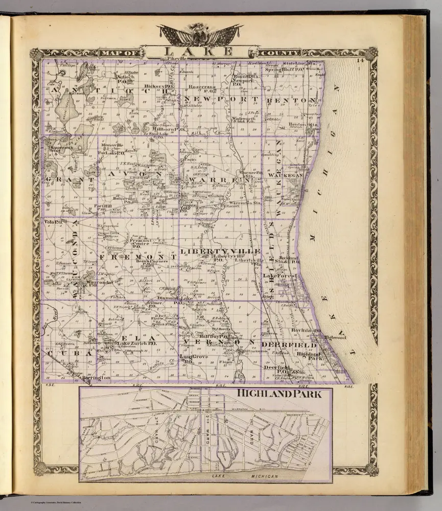
Map of Lake County and Highland Park.
1876
Warner & Beers
1:127k
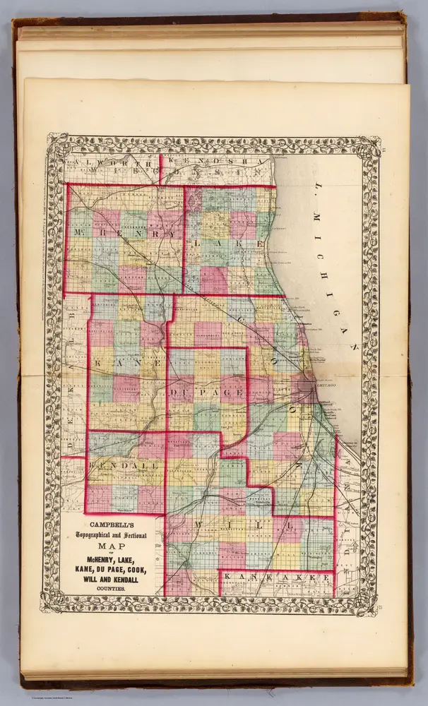
McHenry, Lake, Kane, Du Page, Cook, Will, Kendall counties.
1870
Campbell, R.A.
1:350k
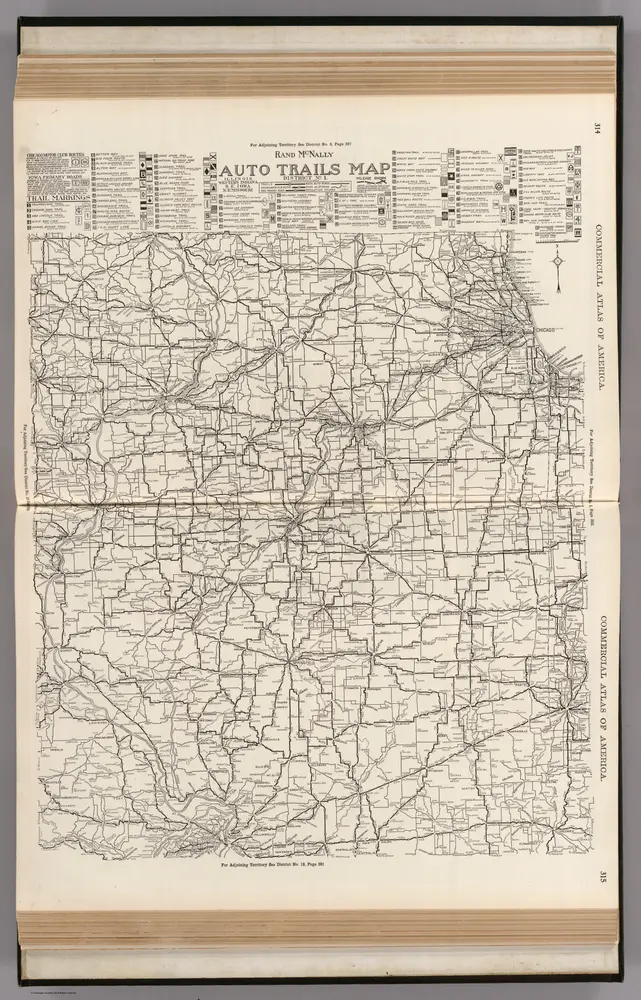
AutoTrails Map, Illinois, Western Indiana, Southeast Iowa, Northeast Missouri.
1924
Rand McNally and Company
1:783k
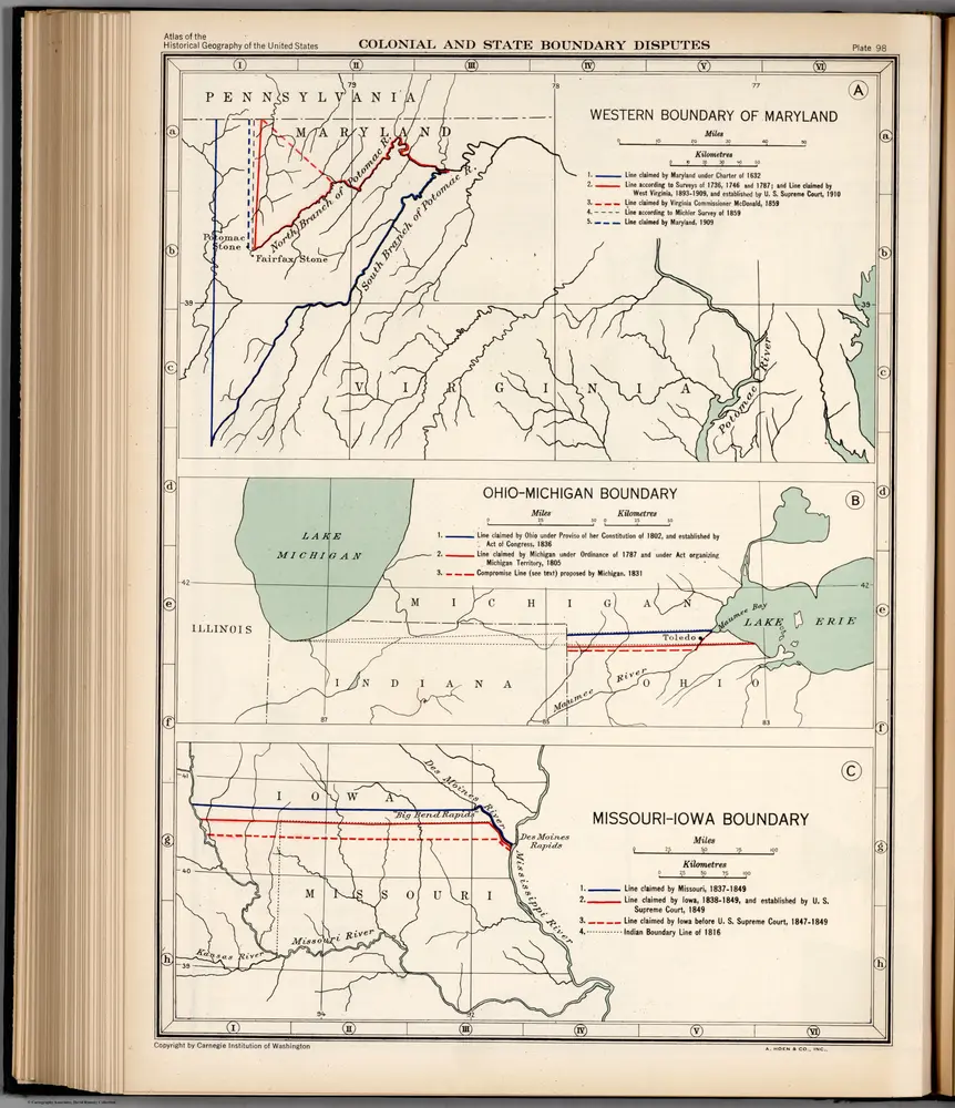
Plate 98. Colonial and State Boundary Disputes. Maryland. Ohio - Michigan. Missouri - Iowa.
1932
Wright, John K.
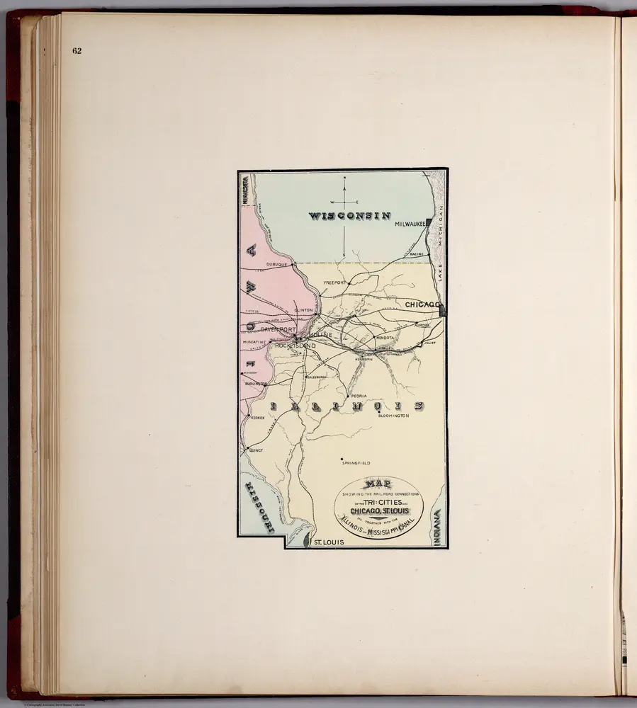
Railroad Connections of the Tri-Cities (Davenport, Moline, Rock Island) with Chicago, St. Louis.
1894
Huebinger, M. & Co.
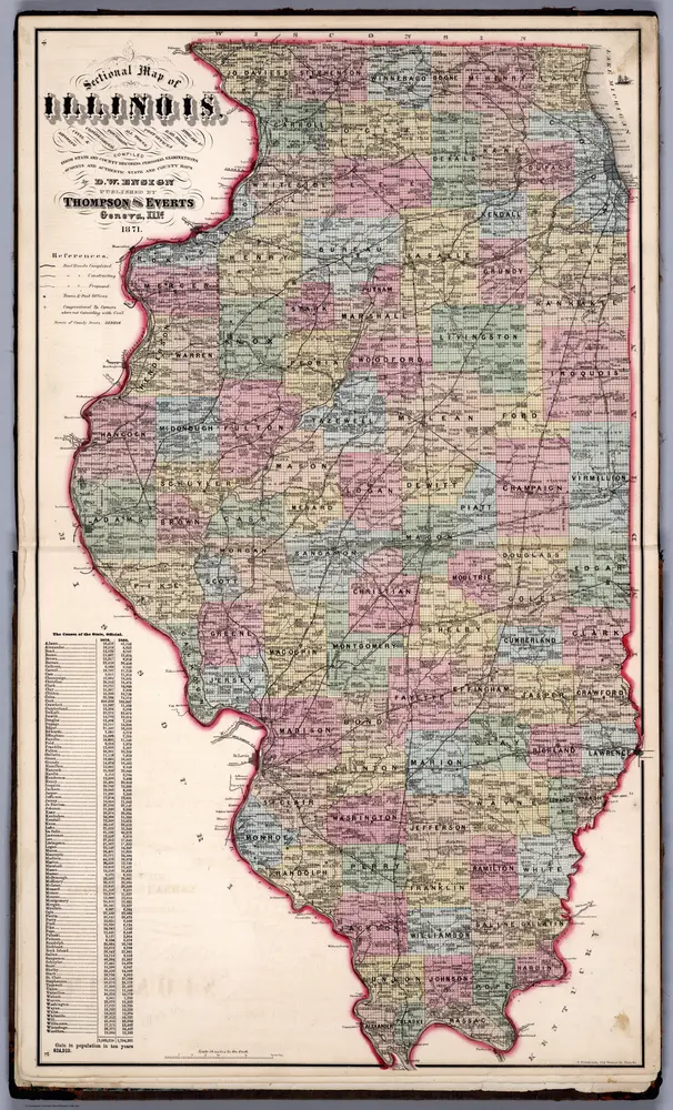
Sectional Map of Illinois ... by D.W. Ensign, Published by Thompson and Everts, Geneva, Illinois, 1871.
1871
Thompson and Everts
1:887k
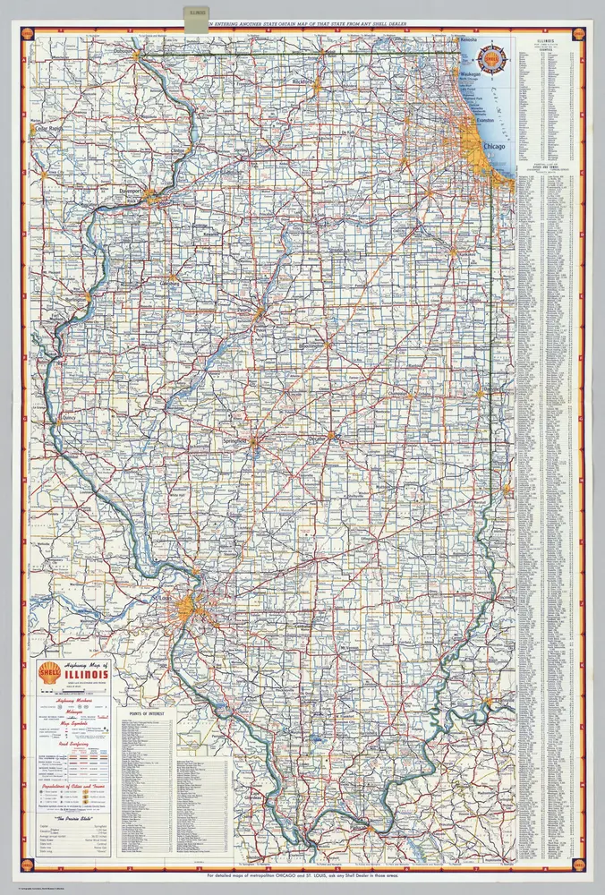
Shell Highway Map of Illinois.
1956
Shell Oil Company
1:1m
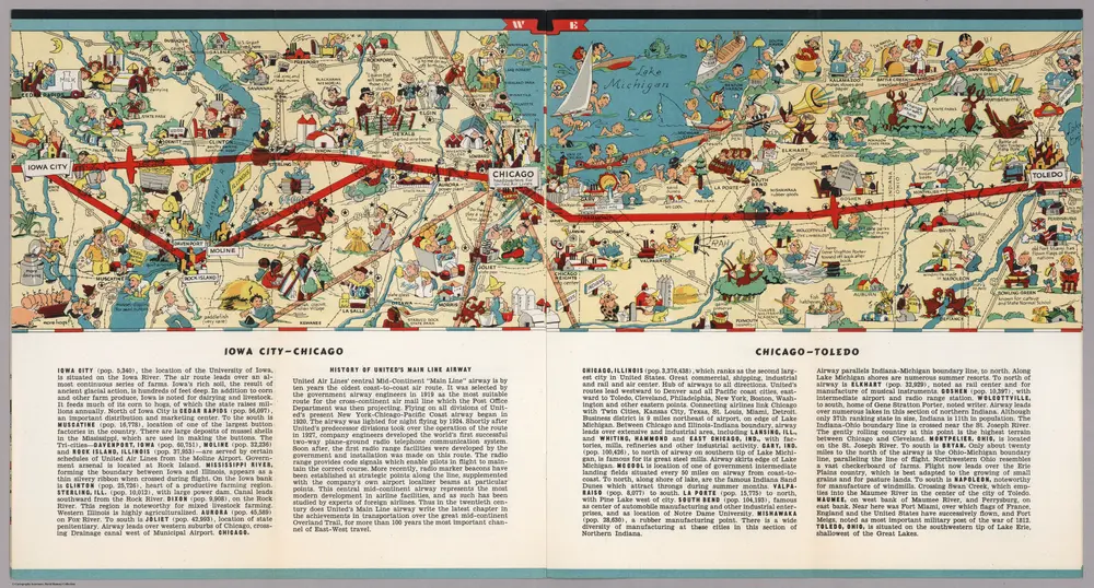
Iowa City - Chicago. Chicago - Toledo.
1939
White, Ruth Taylor
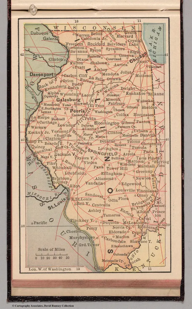
Illinois
1885
Bradstreet Company
1:6m
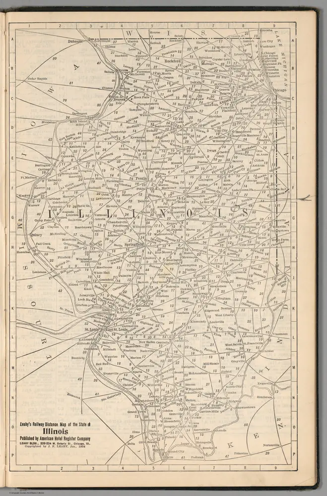
(Continued) Railway Distance Map of the State of Illinois
1934
Leahy, J.F.

