Dokument

Potteries
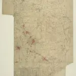
.A triangulation diagram appears on the reverse of this drawing. This was an essential tool enabling the draughtsman to plot topographical features of the landscape. There is no hill sketching on this drawing, suggesting that it is an intermediate version rather than the finished plan. Yellow lines represent the borders of the printed sheet. Major lines of communication are coloured yellow, following standard military cartographic convention.
The British Library1836

