Sign in to access WMTS endpoints.
Sign in to download GeoTIFF.
Sign in to export as IIIF.
Compare
Website
Catalog
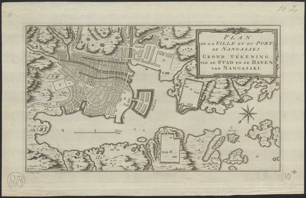
Plan de la ville et du port de Nangasaki = Grond tekening van de stad en de haven van Nangasaki
1874-374572
Ackersdijck Collection
1760
J. v. Schley direx.
[S.l.] : [s.n.]
24 × 20 cm
1 : 15000