Sign in to access WMTS endpoints.
Sign in to download GeoTIFF.
Sign in to export as IIIF.
Compare
Website
Catalog
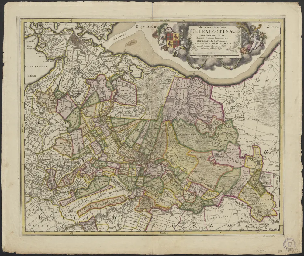
Tabula nova provinciae Ultrajectinae
1874-348737
Maps of the Netherlands and Dutch regions
1700
quam jussu nob. hujus dominii ordinum emensus est Bernardus du Roy geometra, et in lucem edidit Nicol: Visscher
L. van Anse schulp.
[Amsterdam] : Nicol. Visscher
57 × 47 cm
1 : 120000
300