Sign in to access WMTS endpoints.
Sign in to download GeoTIFF.
Sign in to export as IIIF.
Compare
Website
Catalog
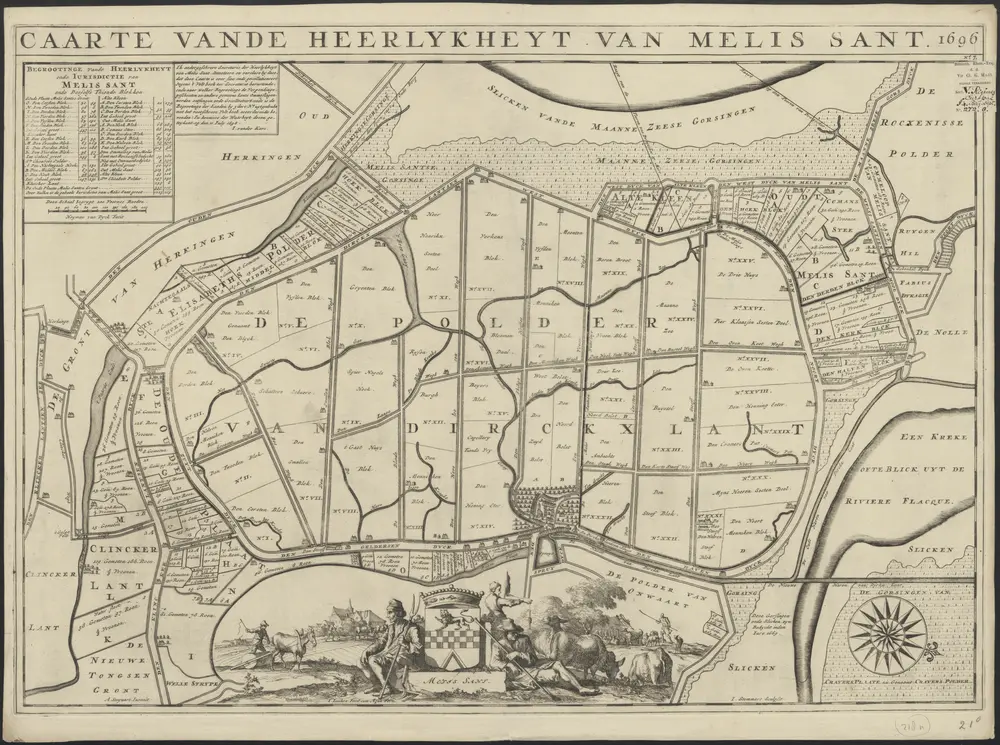
Caarte vande heerlykheyt van Melis Sant 1696
1874-350145
Maps of the Netherlands and Dutch regions
1701
A. Steyaart invenit
I. Luiken fecit cum aqua forti ; I. Stemmers sculpsit.
[S.l.] : [s.n.]
69 × 49 cm
1 : 5000
300