Sign in to access WMTS endpoints.
Sign in to download GeoTIFF.
Sign in to export as IIIF.
Compare
Website
Catalog
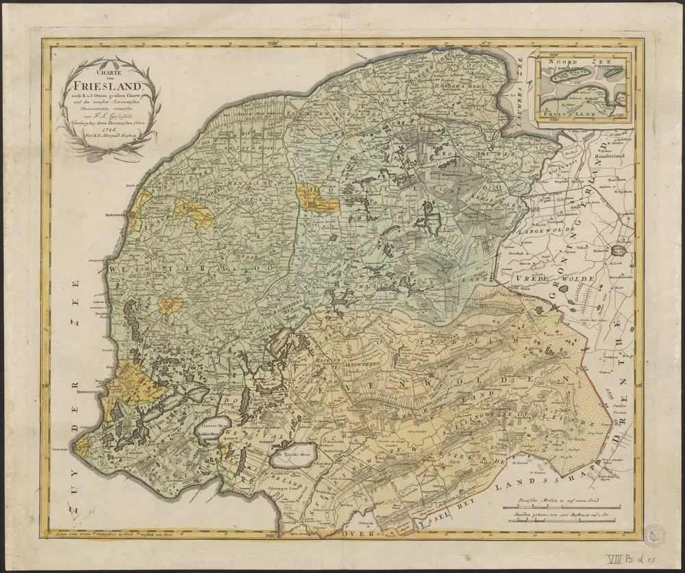
Charte von Friesland
1874-348591
Maps of the Netherlands and Dutch regions
1786
nach R. u. I. Otttens grossen Charte und den neuesten Astronomischen Observationen entworfen von F.L. Güssefeld.
Nürnberg : bey denen Homännischen Erben
57 × 48 cm
1 : 137000
300