比较

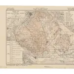
Geologic map, portion of Perris block, Southern California
Relief shown by contours and spot heights. "Accompanying report by Paul H. Dudley and R.J. Sampson, State Mineralogist's Report XXXI, October 1935." Base map is U.S. Geological Survey topographic quadrangle. Includes index to 10 mines in the San Jacinto Mountains and inset: Structure section.
UCLA LibraryDudley, Paul H.; California. Division of Mines.
1935
Sacramento? : State of California, Dept. of Natural Resources, Division of Mines
1:158 000

