3D

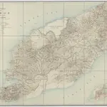
[Zonder aantekeningen], uit: Schetskaart van Timor (Nederlandsch gebied) / [door de] Topographische Inrichting, Batavia
Annotatie: Gegevens verzameld over de periode/Data collected over the period: 1919; Op de kaart wordt de administratieve indeling t/m landschappen aangegeven; Bijgewerkt t/m Februari 1919; Met opgave van de bestuurlijke indeling; Annotatie geografische gegevens: Schaalstok van 25 K.M. (=10 cm); Legenda
GeoplazaTopografische Inrichting, Batavia; Topografische inrichting in Nederlandsch-Indië/1Batavia
1920
Batavia : Topographische Inrichting
1:250 000

