文件

Crowle
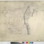
This plan covering the tidal Humber Estuary and the confluence of the rivers Trent and Humber in north Lincolnshire. Along the Humber, the draughtsman has drawn lines or stripes at right angles to the flow of the water. This is an unusual technique: lines were usually drawn parallel to to the course. A section of the Stainforth and Keadby Canal is shown in blue at the bottom of the map, near Althorpe. The manuscript paper carries a watermark from the James Whatman Turkey Mill, Kent, dated 1816.
The British Library1822
1822

